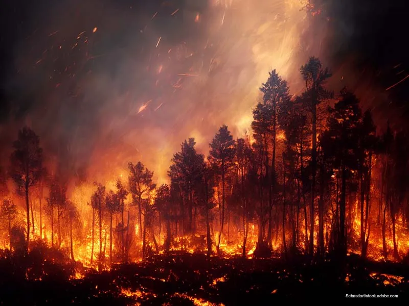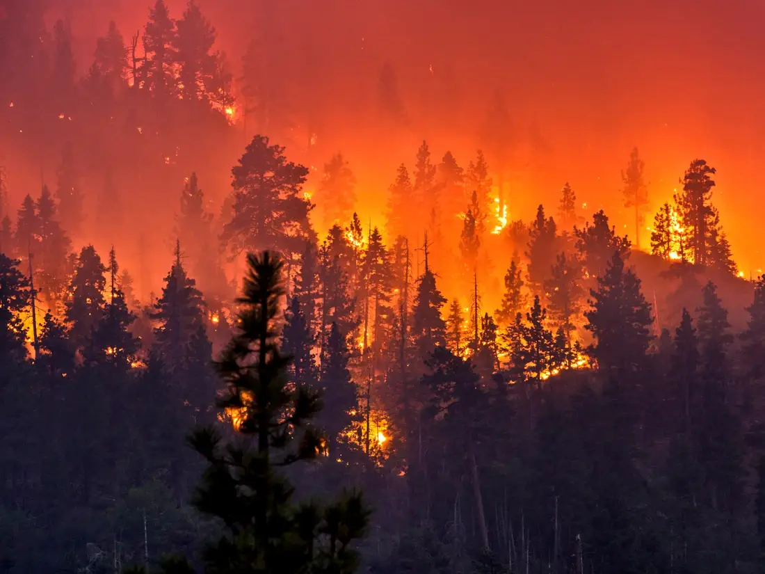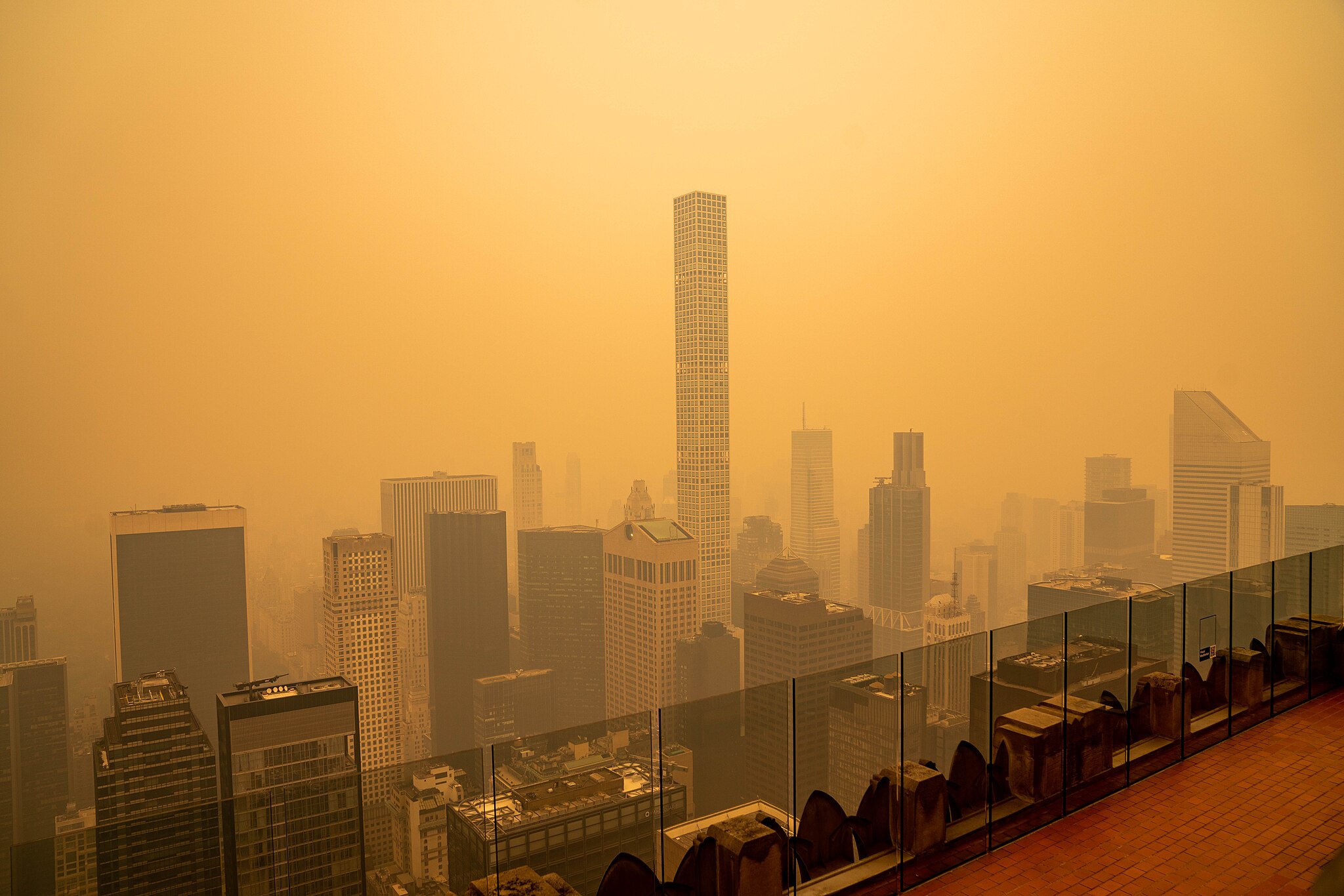
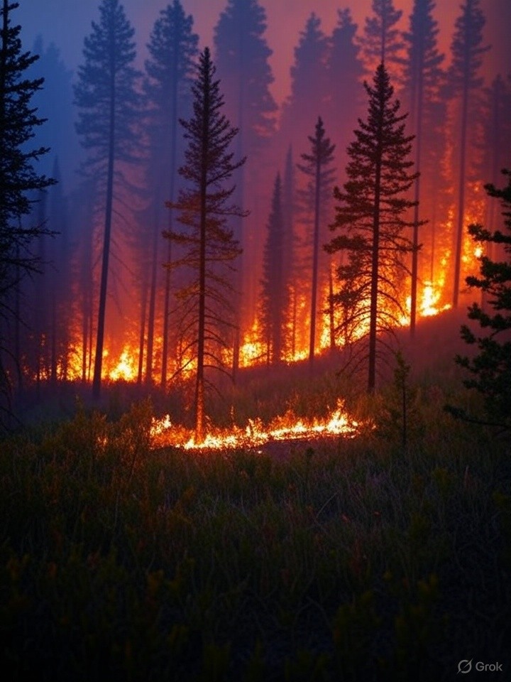
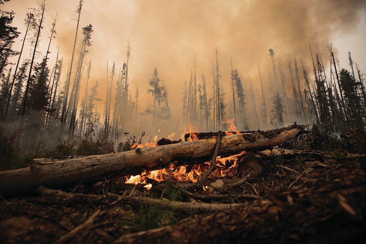
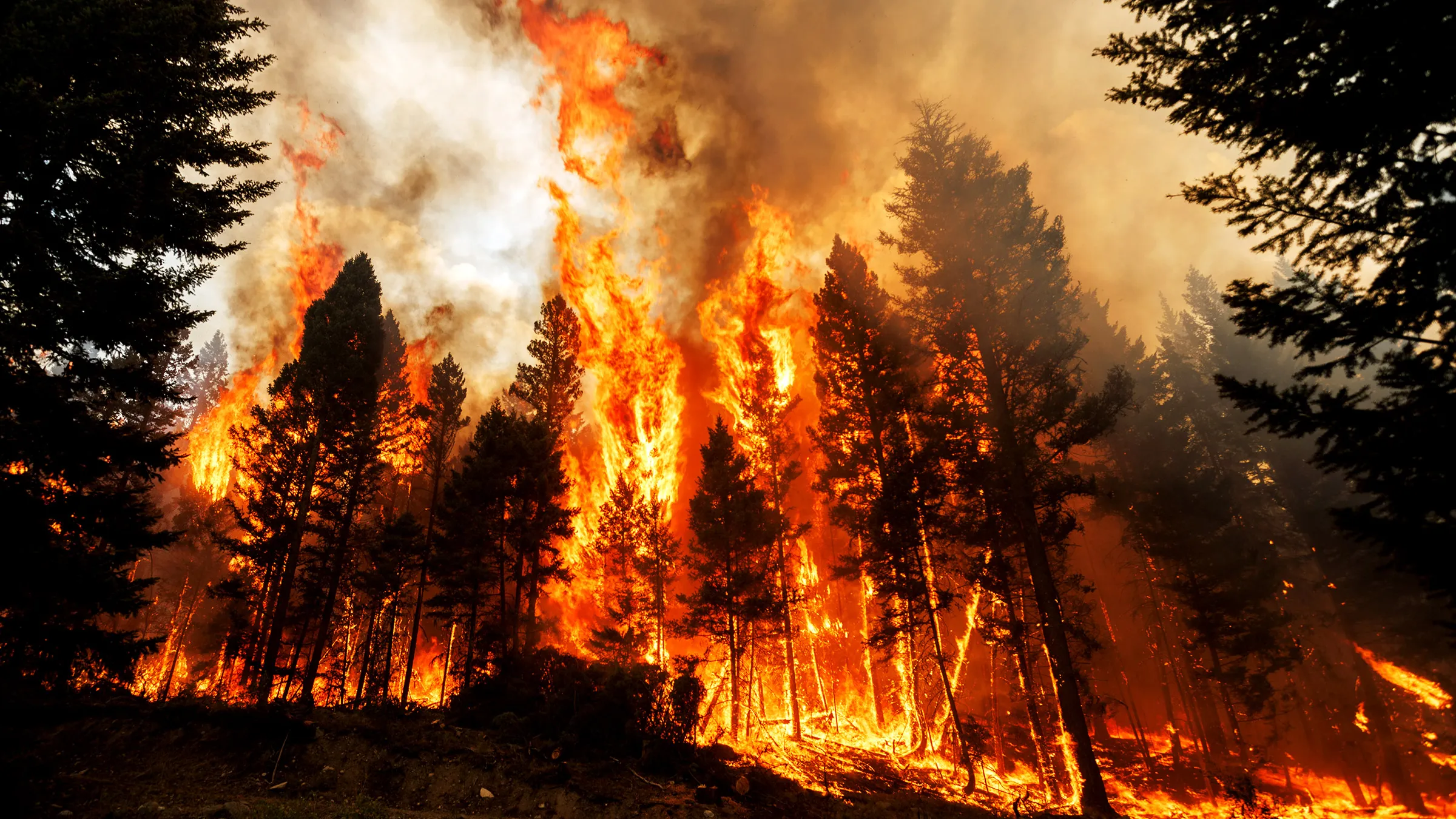
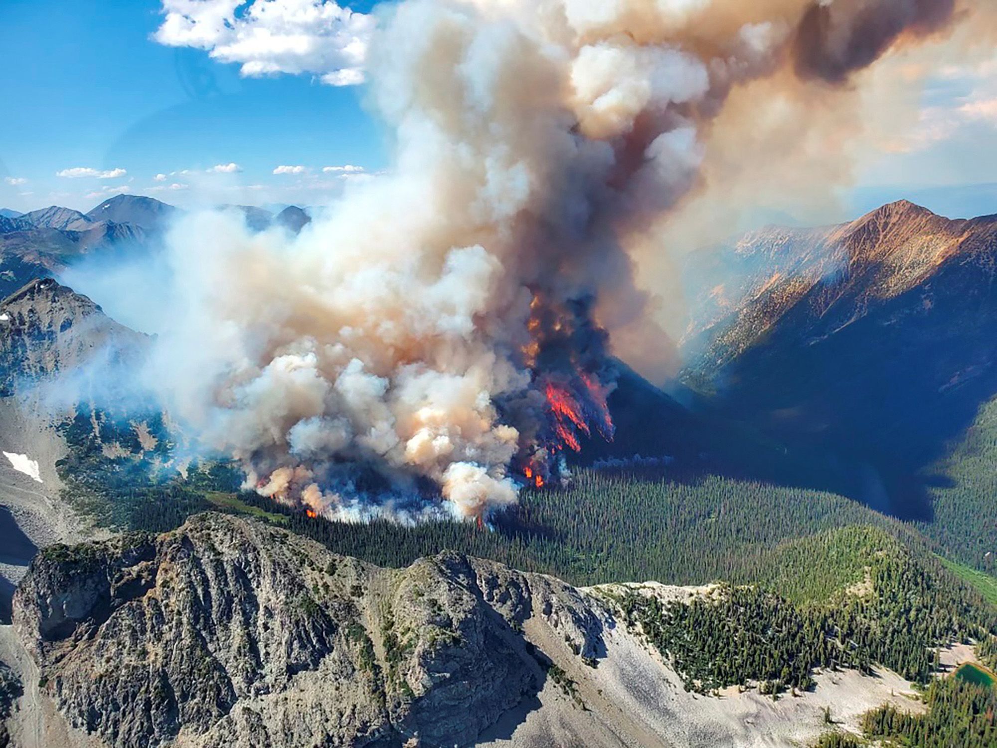
In 2023 alone, wildfires burned over 18 million hectares of land — the worst wildfire season in Canadian history. These fires threaten lives, destroy wildlife habitats, damage air quality, and cost billions in disaster response.


Why Choose Us?
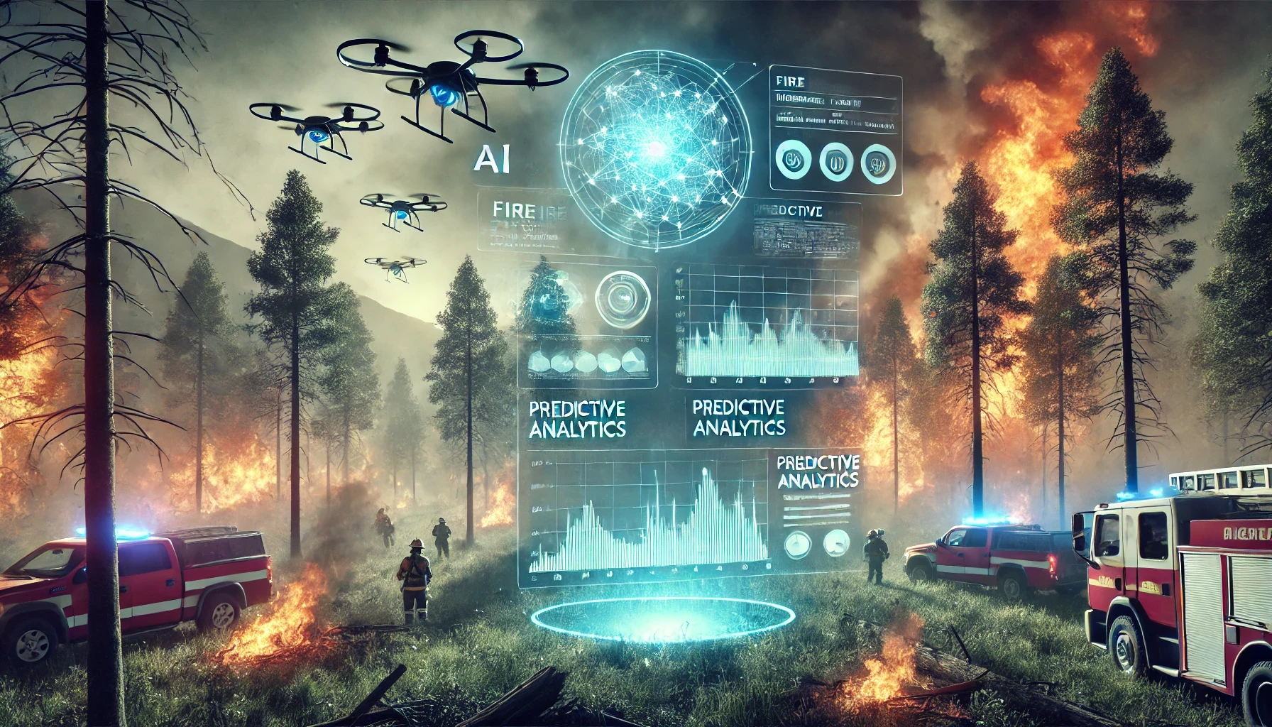
We combine cutting-edge AI with real-time satellite and weather data to deliver accurate wildfire predictions before disaster strikes. Our mission-driven approach puts safety, science, and community impact first.
Fast, Smart, Fire Risk Alert
Receive information at the tips of your finger through our app

Visualize the Future. Act Now.
See actionable insights that can help cities and residence prepare in advance
We are changing the approach to wildfires.
Predict Before It Ignites
AI Built for Real-World Impact


Trusted by Dyne Research

How does BlazeAI predict wildfires?
Our model analyzes live weather patterns (like temperature, wind, and humidity) and satellite images of vegetation and land conditions. It then calculates the likelihood of a wildfire occurring in a specific region and timeframe.
What makes BlazeAI different from other fire tracking tools?
Unlike traditional fire maps that show current fires, BlazeAI predicts future fire risk and simulates possible damage—giving people time to prepare before a fire starts.
Who can benefit from BlazeAI?
Emergency services, local governments, environmental agencies, and at-risk communities can all use BlazeAI to plan ahead, allocate resources, and stay safe.
Is BlazeAI currently available to the public?
We're currently in development, and plan to launch in August 2025.
How accurate is BlazeAI?
We are actively testing BlazeAI against historical fire data to improve its accuracy. Our goal is to continually refine the model with real-world feedback.