Wildfire Risk Prediction
Summary
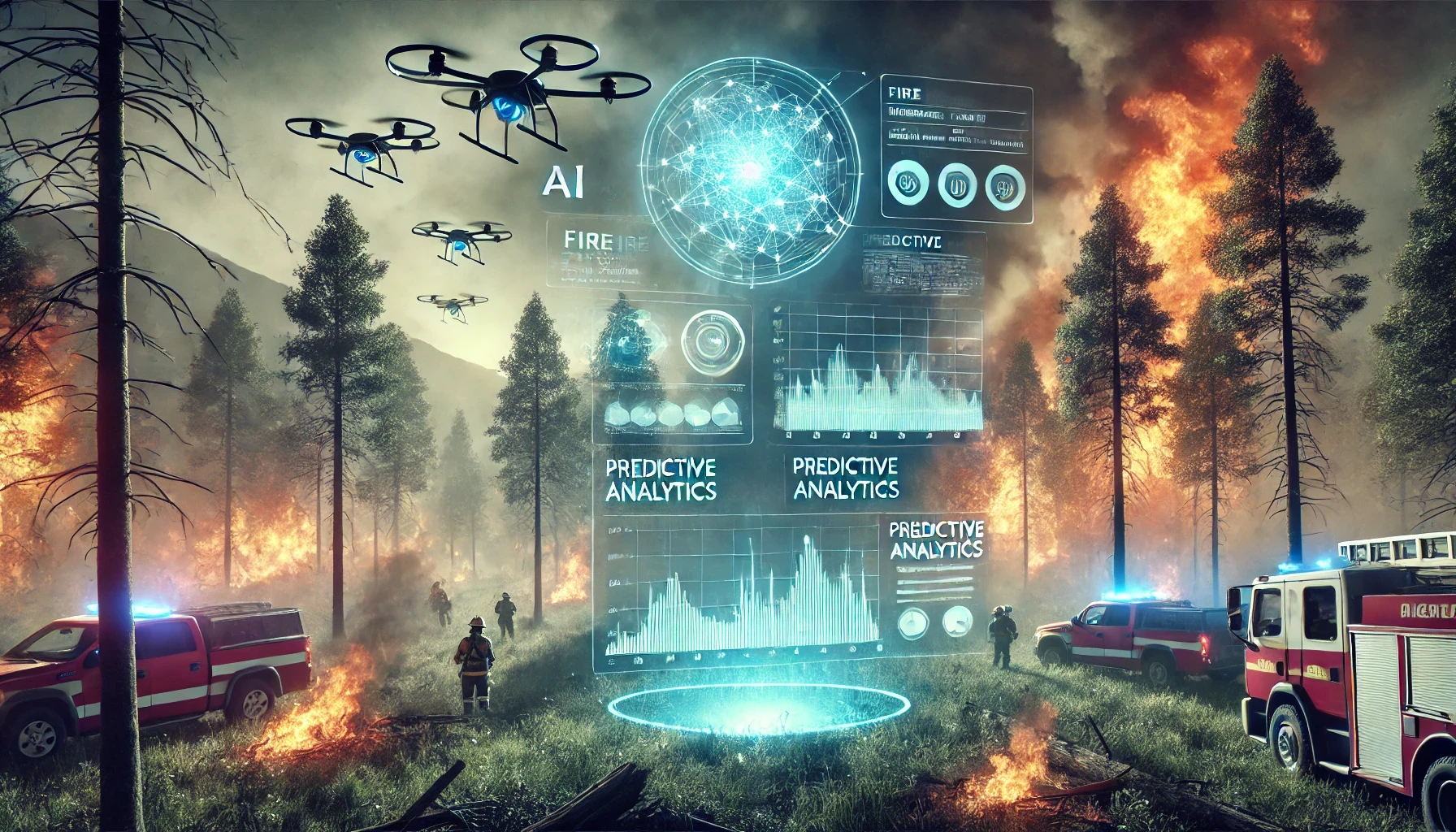
BlazeAI uses real-time weather data and satellite imagery to calculate the likelihood of a wildfire in a given region. It analyzes environmental variables such as temperature, wind speed, humidity, and vegetation dryness to assess fire risk.
How it works
This prediction is generated using advanced machine learning models trained on historical wildfire data across Canada. The system identifies spatial patterns that precede fire ignition, allowing users to monitor high-risk zones before a fire begins. Users can access regional forecasts on an interactive map, updated regularly. This proactive approach helps governments and emergency services prepare resources in advance.
Why it matters
BlazeAI transforms reactive response into preventative action. It is especially valuable during dry seasons or in remote, fire-prone regions. The platform is continuously learning and improving its accuracy with new data. By predicting where and when wildfires are likely to occur, BlazeAI helps save lives, protect wildlife, and minimize environmental damage.