Satellite-Based Visualizations
Summary
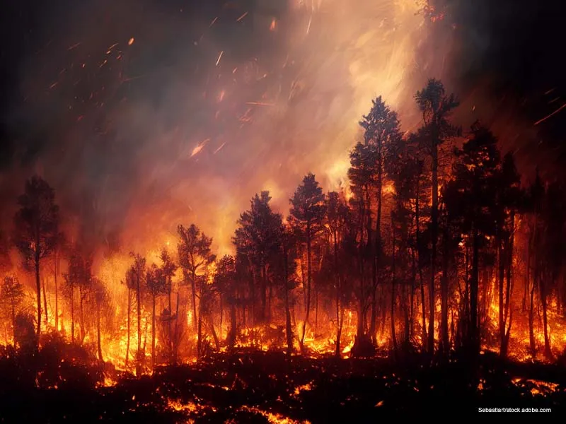
BlazeAI includes an AI-powered tool that generates simulated satellite imagery of areas after a predicted fire event.
What you get
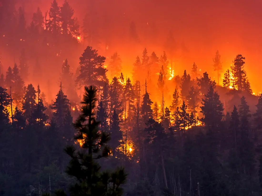
This makes the impact of fire more tangible and easier to understand for planners, policymakers, and the public. The model uses real satellite data (e.g., from Sentinel-2 or MODIS) to detect terrain type, vegetation coverage, and fuel availability.
Why it matters
By comparing current imagery to projected outcomes, users can better visualize the severity of a possible wildfire. This feature is especially useful for land managers and conservationists looking to prioritize areas for protection. It also supports educational outreach, public awareness campaigns, and fundraising for wildfire prevention. The generated images are high-resolution and geospatially aligned with real-world data. BlazeAI turns invisible risk into visible insight.
How it works
BlazeAI includes an AI-powered tool that generates simulated satellite imagery of areas after a predicted fire event. Using GANs (Generative Adversarial Networks), the system creates visual representations of potential burn zones and ecosystem damage.